

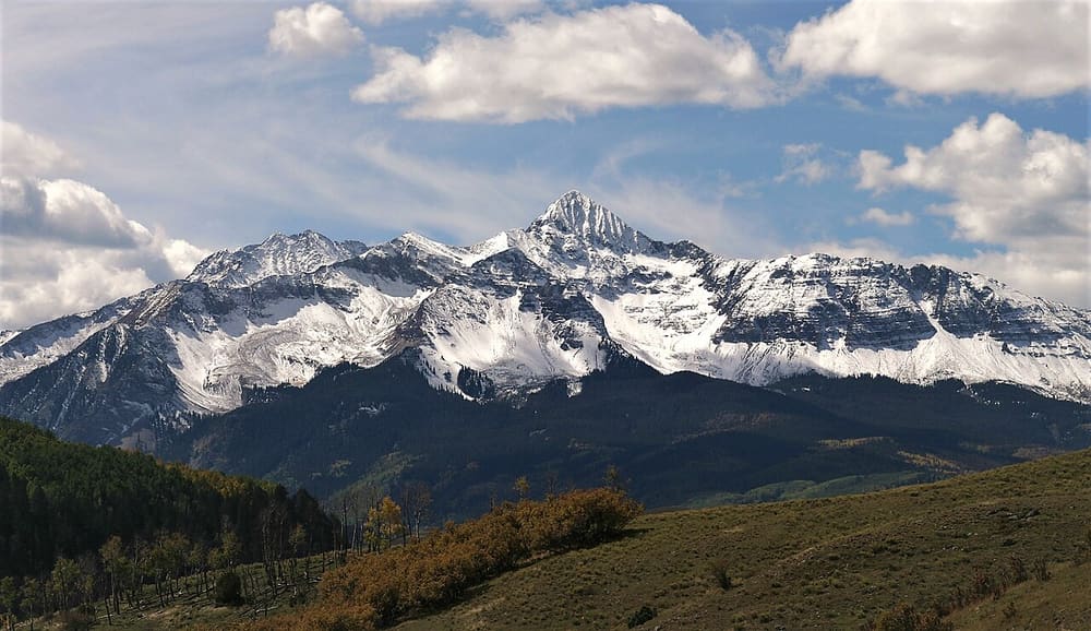
Stand-in photo, not this place: Wilson Peak west of Telluride; not taken on the Deep Creek Trail
Deep Creek Trail
Hiking and biking trail
About
Deep Creek Trail #418 is a long trail on the slopes northwest of Telluride. It runs from a junction with the Jud Wiebe Trail to a trailhead on Last Dollar Road, mostly through aspen with scattered spruce and fir, crossing several bridges. Overlooks face south across the ski area and the San Juan Mountains, and the trail also leads into the Mount Sneffels Wilderness.
The Tourism Board rates it moderate and lists it at 13.1 miles out and back with 3,585 feet of elevation gain, about 7.5 hours, though you can link it with other trails to make a loop. The Forest Service says several steep sections make it a challenging hike or ride. The closest start to town is the eastern access: drive west on Highway 145 about a mile, turn right on Mill Creek Road and go about 1.5 miles to the end of the road.
When to go
The Forest Service calls it a good early and late season trail because it faces south, and lists May as its season of use. Check conditions before you go in spring and late fall.
Good to know
Mountain bikes are allowed from the eastern access as far as the Deep Creek crossing. Beyond that it's open to hiking and horseback riding, and Wilderness rules apply inside Mount Sneffels Wilderness.
The Deep Creek Trailhead is about 3 miles up Last Dollar Road from Highway 145, with a 1-mile connector trail to Deep Creek. The Forest Service warns that Last Dollar Road is extremely slippery when wet and recommends high-clearance four-wheel drive.
There's no drinking water at the trailheads.
Price
- AdmissionFree
There's no entrance fee for the national forest.
Prices checked November 2026 on the website of the Grand Mesa, Uncompahgre and Gunnison National Forests. They can change, so check before you go.
Run Deep Creek Trail? Offer a coupon here for free.
See how it works and an example page. Already have an account? Log in