

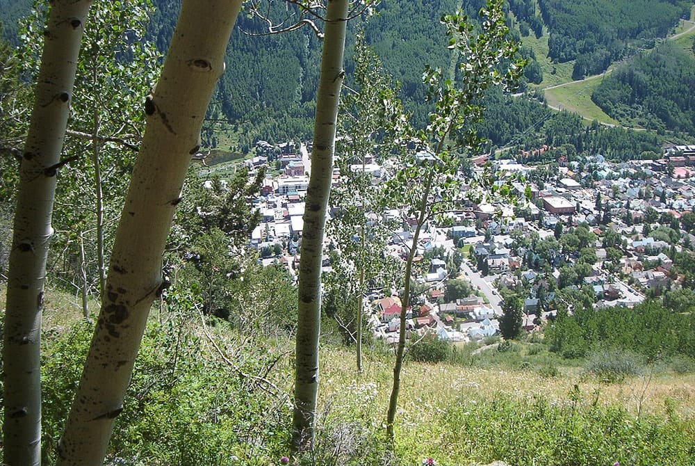
Telluride from a hiking trail above town; the trail is not named
Jud Wiebe Trail
Loop hike
About
The Jud Wiebe Trail is a loop on the mountainside just north of town, with views of Telluride, the ski area, Bear Creek and the peaks around them. The Forest Service says it climbs about 1,300 feet through aspen and spruce-fir forest and open meadows. At the high point there's an overlook with a bench, a good place to stop and take in the view.
Start at the north end of North Aspen Street. Take the dirt trail, go left across the bridge over Cornet Creek, and follow the trail west, watching for signs where it merges with other trails partway along. The loop ends on Tomboy Road, about a quarter mile from the north end of North Oak Street. You can also hike it in reverse: from the end of Oak Street, turn right on Tomboy Road and then left through the metal gate. The tourism board rates it moderate, at 3.1 miles and 2 or more hours.
History
The trail is named for Jud Wiebe, a Forest Service recreation manager who planned it. The Forest Service says he died of cancer in 1986, before the trail was finished.
When to go
The tourism board says the trail is typically accessible year-round because of its spot on the southern side of the mountain. Check current conditions before you set out, especially in winter and spring.
Good to know
The trailhead is about three blocks north of Colorado Avenue, and the Forest Service says there's limited parking along the street.
The trail is open to hikers, horseback riders and mountain bikers, so expect to share it.
The Forest Service says there's no drinking water at the trail, so bring your own.
Price
- AdmissionFree
The Forest Service charges no entrance fee for the Grand Mesa, Uncompahgre and Gunnison National Forests.
Prices checked November 2026 on the website of the US Forest Service. They can change, so check before you go.
Run Jud Wiebe Trail? Offer a coupon here for free.
See how it works and an example page. Already have an account? Log in