

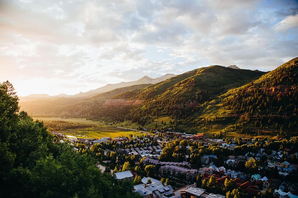
Telluride from the slopes above town; not confirmed on this trail
Liberty Bell Trail
Basin hike
About
The Liberty Bell Trail branches off the Jud Wiebe Trail and climbs steeply into Liberty Bell Basin. The Forest Service says it follows an old mining road through aspen, passes the remains of an old cabin and other mining ruins at about 2 miles, then crosses a meadow with views of Wilson Peak, Mount Wilson and El Diente Peak. After a steep run of switchbacks it enters the basin at about 3.1 miles, with views of Greenback Mountain and Mount Emma.
To start, go to the north end of North Oak Street, turn right onto dirt Tomboy Road, and after about 0.25 mile turn left at the metal gate onto the Jud Wiebe Trail. The Forest Service puts the Liberty Bell junction about 0.7 mile up the Jud Wiebe. The tourism board says that where the Jud Wiebe turns sharply left at a sign, you keep straight and look for an unsigned trail on your right. The tourism board rates the loop difficult, at 5.8 miles with 2,857 feet of climbing and about 5 hours, returning by the Sheridan Crosscut.
When to go
The tourism board says all the aspen make it an especially good hike in the fall. Treat it as a summer and fall hike, and check conditions before you go.
Good to know
Be ready for loose gravel, according to the tourism board.
At about 2 miles the trail enters private land, so stay on the trail there.
The Forest Service says the junction with the Sheridan Crosscut is unsigned, so carry a map.
It's open to hikers, horseback riders and mountain bikers. The Forest Service says there's no drinking water, so bring plenty.
Price
- AdmissionFree
The Forest Service charges no entrance fee for the Grand Mesa, Uncompahgre and Gunnison National Forests.
Prices checked November 2026 on the website of the US Forest Service. They can change, so check before you go.
Run Liberty Bell Trail? Offer a coupon here for free.
See how it works and an example page. Already have an account? Log in